Offering a unique platform for digital agriculture solutions, company combines satellite imagery with AI and big data
The commercialisation of space is a burgeoning new frontier with incredible potential. Increasingly, innovators look to the skies for insights that can provide unique perspectives on global challenges. One path gaining traction is the use of machine learning and satellite image data to detect characteristics in the atmosphere or on the surface of the planet. Despite its massive utility, this technology is difficult to leverage and is not yet widely available.
“The whole reason SpaceSense exists is because Earth observation is a very powerful technology and we want to make it accessible to everyone,” explained Jyotsna Budideti, SpaceSense’s CEO.
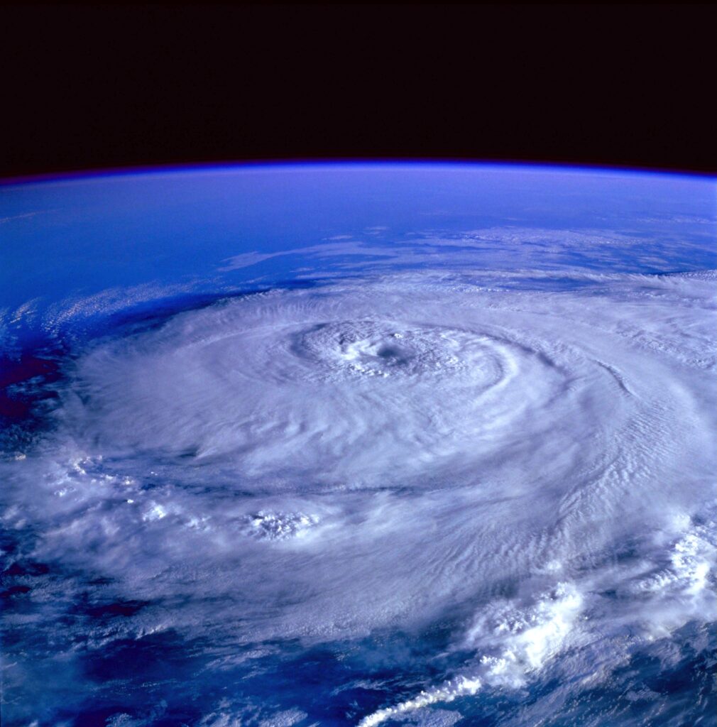
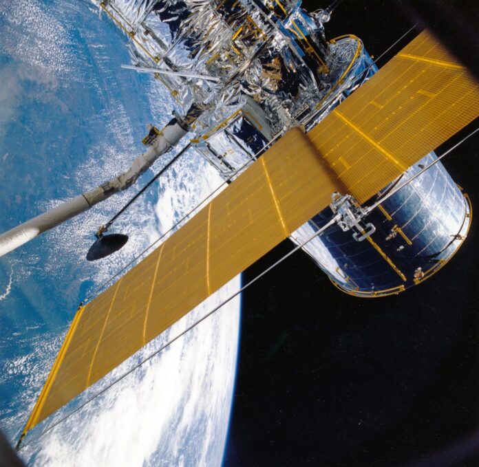
Earth observation is the use of satellites carrying sensors to gather physical, chemical, or biological information about our planet. By filtering the data from the sensors of many different satellites, and combining this with SpaceSense’s AI models, it is possible to automate detection processes for a range of industries.
Despite being in the seed funding stage, SpaceSense’s platform already has a number of agritech solutions covering crop health monitoring, yield and prescription mapping, and irrigation management — while the company is looking to develop solutions for carbon sequestration, a practice showing promise in reducing the global “carbon footprint.”
Based in Paris, SpaceSense allows its early adopters to access these solutions through its APIs, enabling easy integration with their existing environments. End products are generally industry-specific, Jyotsna said, which is why she and co-founder Sami Yacoubi chose to begin with a focus on agritech before exploring other paths.
But the technology has the potential to be extremely versatile. Many stages of the process of creating AI solutions for satellite imagery are highly reproducible, according to the two founders.
The way that SpaceSense’s solutions extract soil moisture levels is not dissimilar to the way in which they would be used to detect something else, like the amount of carbon monoxide in the atmosphere, Jyotsna explained. In fact, while complex, until the final stages of any given detection process the methods used are highly comparable with one another.
“Sources of data, [and] the algorithms, might change a little bit: the process remains the same,” Jyotsna explained.
With the same set of tools, SpaceSense was able to conduct house detection in Puerto Rico to identify damage after Hurricane Irma, and to detect the pace of change to forests in Sierra Leone. The solution was even able to detect the levels of flooding in certain regions to see if they had been affected or not, explained Sami, SpaceSense’s COO.
“It’s pretty much the imagination that is the limiting factor right now,” he said, acknowledging, of course, that processing power and the amount of money available play a role.
Because of these capabilities, there is a strong likelihood of the company moving into agricultural insurance, although many possible avenues exist. In particular, the founders see great potential for their solutions in environmental monitoring and climate change.
“This is one place where Earth observation can really shine,” Jyotsna explained.
Climate change is a huge problem for virtually every industry, she said. Earth observation brings some very interesting technological capabilities to the fight. Satellite imagery combined with AI presents unique capabilities and it can play a huge role in the sector, she said.

The challenges of complex data
It might be relatively simple to explain the aim of the technology – but making it work is another matter altogether.
Satellite image data is complex, and data sources vary considerably. Along with optical satellites, there are those that use radar, or that measure carbon fluxes. Even the satellites that have similar sensors, however — for example, those that measure visible light — cannot be easily compared with one another, as different wavelengths of light are useful for different detection techniques, Jyotsna explained. This gives some sense of the challenges faced when combining these different data sources into one platform.
There is also a huge amount of expertise that goes into knowing what these sensors are, what information can be taken from them, and how that information can be used, Jyotsna explained.
Because the company combines Earth observation with machine learning and big data, this complexity is only compounded. Another major hurdle is the sheer quantity of data that must be sent and processed, creating potential computational bottlenecks.
“It’s something that we had to build for from the beginning in our pipelines,” Jyotsna explained, not just how the company accesses and processes the data, but how the whole pipeline operates.
This is one weakness in satellite imaging services overall, Sami said. There are a lot of research centres working on machine learning who create great solutions, but these products might not necessarily translate well into business cases, he explained.
“In a production environment, when you have to think about cost, efficiency, and speed — it becomes much more challenging,” Sami said, adding that this is where SpaceSense really tries to differentiate itself.
Going forward
SpaceSense announced the completion of its seed funding round in October, securing €1 million from investors, including Techmind, Space Ventures Investors, and a group of business angels that included two of the co-founders of Dataiku.
The goal of this round was to validate the interest of the market. Next, the company plans to enter additional sectors. The overall aim is to provide a highly customisable solution for customers. To continue with its momentum, SpaceSense will look for support from investors towards the second half of 2021.
SpaceSense was selected as one of two finalists for the Copernicus BayWa AG Smart Farming Challenge, an innovation competition for new solutions that support sustainable agriculture. The company will also soon be entering the Plug and Play Tech Centre’s Agtech accelerator in North Dakota where R&D will intensify.


